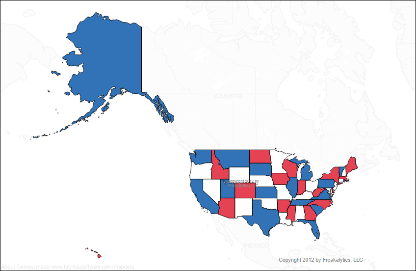
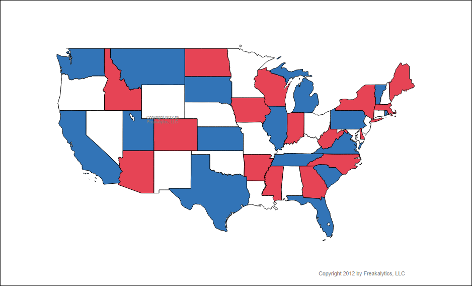
 While preparing for a conference, we decided to create a map to show the US states using patriotic (US flag) colors. The colors of the US flag are precise, so we needed to modify the Tableau preferences file to use the correct colors (also, white is not part of the Tableau color palette for discrete data items.)
After modifying our Preferences.TPS file with a new US Flag color palette and saving it to My Tableau Repository (a directory, typically in My Documents), we were able to create the red, white and blue map of the US! To download the Maps, a sample workbook and the changed Preferences.TPS file, just log in below.
Preferences.TPS (it is a WinZip file, unzip it and study it to copy appropriate sections into your TPS file, do NOT use our file directly!)
Sample workbook of patriotic maps (also a WinZip file, unzip it and open with Tableau 7 or later)
Lower 48

All 50 states

Securely share R shiny apps
Develop R shiny apps
All on one dedicated, secure and powerful platform.